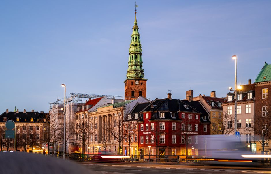
Copenhagen Kommune has been working through a backlog of duplicate and incorrectly filed property images in its digital cadastral and planning records — a technical problem that has quietly disrupted planning applications, property valuations, and neighbourhood consultation processes across the city for at least three years.
The issue matters now because the city is midway through an ambitious urban densification programme that depends on accurate, up-to-date visual records of existing buildings. When planners in the Teknik- og Miljøforvaltningen — the city's technical and environmental administration — pull property images to assess development proposals, duplicate files can cause a building's current facade or structural alterations to be overlooked entirely, delaying applications by weeks. For ordinary Copenhageners waiting on renovation permits or sale completions, those weeks translate directly into costs.
Where the Problem Shows Up
The duplication issue has been most visible in older, densely mapped neighbourhoods. In Nørrebro, residents applying for permits to modify listed buildings on streets such as Elmegade have reported receiving feedback based on outdated facade images — sometimes photographs taken before significant renovations already approved by the city. In Vesterbro, the Byggesagsafdelingen, the city's building-permit department, has had to manually cross-reference records on Istedgade properties when automated systems flagged conflicting images for the same building ID.
The root cause is partly historical. When Copenhagen migrated property records onto its current digital platform — a process that accelerated between 2018 and 2021 — images from multiple legacy systems, including the old BBR (Bygnings- og Boligregistret) photo archives, were imported in bulk without full deduplication protocols. The result was that some properties now carry three or four image entries attached to a single matrikel number, not all of them current.
This is not a trivial administrative nuisance. Property consultants operating in the city have noted that mortgage lenders and valuers, including Nykredit and Realkredit Danmark, occasionally request municipality-held images as part of due-diligence checks on older properties. If the images on file show a building in a previous state — say, before a loft conversion or a facade replacement — the discrepancy can trigger additional verification rounds, adding days to what is already a slow process.
What the City Is Doing — and What Residents Should Know
Teknik- og Miljøforvaltningen began a structured duplicate-image replacement programme in early 2025, prioritising properties in heritage-protected zones, which account for roughly 14 percent of Copenhagen's total building stock according to Slots- og Kulturstyrelsen, the Danish heritage agency. The programme involves both automated matching algorithms and manual review by staff in the Byens Fysik unit.
As of spring 2026, the city had processed records covering approximately 40,000 properties, out of an estimated total of around 110,000 individual building entries in the municipal system. That means a significant portion of the database remains unverified. Properties built before 1940 — which are concentrated in Frederiksberg-adjacent districts, the inner city around Indre By, and parts of Østerbro — are considered highest priority because their records are most likely to contain pre-digital era images scanned from paper files.
For residents, there are practical steps worth taking now. Anyone planning a building application, refinancing, or a property sale in 2026 should request a record extract from BBR-registret — accessible via borger.dk — and check whether the images attached to their property reflect its current state. If they do not, a correction request can be submitted through the Byggesagsafdelingen, and the city has committed to processing image-update requests within 15 working days under its current service standard.
The longer-term fix depends on the city completing its migration to a unified platform under the national GeoDanmark infrastructure, a project expected to reach full implementation no earlier than 2028. Until then, the manual workaround remains the most reliable route for any Copenhagen resident who suspects their property record is carrying the wrong image — and who cannot afford to wait for the algorithm to catch up.