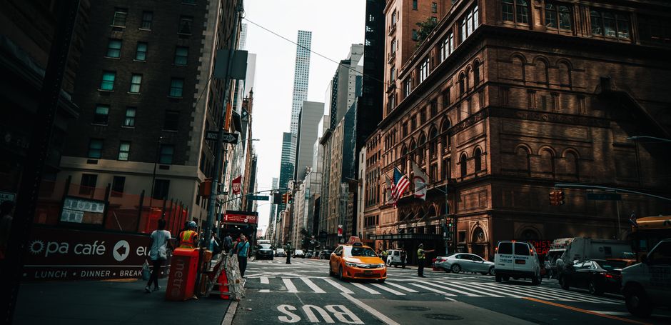
Residents attending a public consultation meeting at Kulturhuset Islands Brygge last Tuesday walked away frustrated for a reason that had nothing to do with zoning maps or traffic models. The digital presentation boards meant to illustrate proposed changes along Amagerbrogade showed the same photograph — an unidentified cobblestone alleyway with flower boxes — used five separate times to represent five distinct streets. Nobody in the room recognised the image as Copenhagen at all.
The complaint is becoming familiar. Across at least three of the city's boroughs, community members say that Teknik- og Miljøforvaltningen, the city's technical and environmental administration, has been relying on what critics describe as duplicate or mismatched stock imagery inside its digital consultation platforms, particularly the Bliv Hørt portal where Copenhageners are invited to comment on local development proposals. The result, residents argue, is that people respond to pictures that bear no resemblance to their actual streets, skewing the texture of community feedback.
Same Photo, Different Street
At a neighbourhood meeting held at Folkets Hus on Stengade in Nørrebro on June 18, participants were shown consultation materials for a proposed cycling infrastructure upgrade along Jagtvej. Several attendees pointed out that two of the four reference images shown had appeared identically in a separate Vesterbro consultation the previous month — one concerning Istedgade — a fact several residents had independently noticed by comparing the PDF documents posted online. A local cycling advocacy group, Cyklister i København, circulated a comparison document to its membership in late June noting the discrepancy.
In Amager, members of the Sundbyvester Lokaludvalg, one of the city's 12 elected local committees, raised the issue formally in a written submission to Borgerrepræsentationen dated June 29. The submission described the imagery problem as symptomatic of a broader resourcing gap in how consultation materials are prepared. The lokaludvalg did not attribute blame to individual officials but asked the administration to confirm by August 15 how many active consultations currently contain duplicate images and whether any feedback gathered had been flagged for review.
The practical stakes are real. Copenhagen's municipal planning code requires a minimum four-week public comment window before major urban development decisions are advanced, and the quality of responses submitted during that window can legally influence the outcome of a proposal. If residents are reacting to photographs that don't reflect their neighbourhood — commenting, for instance, on the absence of trees in an image that actually depicts a street in another district — their input may be systematically misaligned with the physical reality under discussion.
What Residents Are Asking For
Community members from the three affected areas have coalesced around a straightforward demand: every consultation image used in the Bliv Hørt portal should be geotagged, dated and matched to a verifiable street address. Sundbyvester Lokaludvalg's June 29 submission specifically proposed that the city adopt a mandatory image-verification checklist before any consultation package goes live — a step that would add, by the localudvalg's own estimate, roughly one additional working day to the preparation process.
The Teknik- og Miljøforvaltningen had not publicly responded to the June 29 submission as of Friday afternoon. The administration's standard response window for lokaludvalg submissions is 30 working days, meaning a formal reply would be due no later than mid-August under current procedural rules.
For residents, the timeline feels slow. The Jagtvej cycling proposal is scheduled to move into its next design phase in September, and community members who attended the Folkets Hus meeting say they want the image issue resolved before that consultation formally closes on July 25. Until then, several participants said they plan to annotate their online submissions with written descriptions of their actual streets rather than responding to the photographs — a workaround that, they acknowledge, requires more time and digital literacy than many of their neighbours possess.
The lokaludvalg in Nørrebro, Nørrebro Lokaludvalg, has not yet filed a parallel submission but confirmed it is monitoring the situation. A follow-up community session is tentatively planned for Folkets Hus in the second week of July.